UN
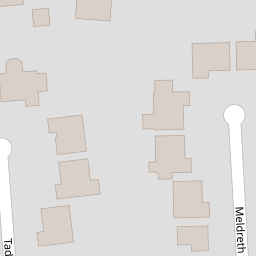
4 Tadlow Close
£ 365,000
Description
We don't have a Description for this property.
- Bedrooms
- 4
- Bathrooms
- 0

Leaflet © OpenStreetMap contributors
The heatmap indicates the level of crime in the area. The color of the heatmap indicates the crime severity and recency.
Metrics Year-on-Year
- Average area value
- 971,667.00 £Increased by 80.27 %
- Average area rental value
- 4,667.00 £/moIncreased by 20.81 %
- Est rental Yield
- 5.76 %Decreased by 33.02 %
- Crime Rate
- 12.00 %Unchanged by 0.00 %
from 539,015.00 £
from 3,863.00 £/mo
from 8.60 %
from 12.00 %
Nearby Schools
| Name | Type | Ofsted | Distance |
|---|---|---|---|
| Range High School | Academy Converter | Requires improvement | 0.33 KM |
| St Luke'S Church Of England Primary School | Voluntary Controlled School | Good | 0.77 KM |
| St Jerome'S Catholic Primary School | Voluntary Aided School | Good | 1.03 KM |
| Woodlands Primary School | Community School | Good | 1.22 KM |
| Formby High School | Academy Converter | 2.32 KM |
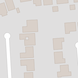
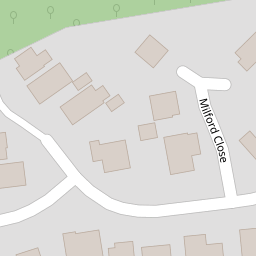
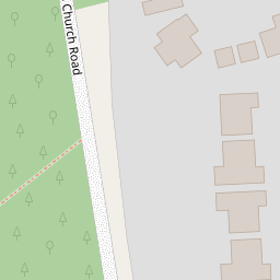
Images
Nearby Streets
| Name | Average Price | Average Sqft | Distance |
|---|---|---|---|
| Chestnut Way | £ 280,000 | 0 | 0.00 KM |
| Pinewood Close | £ 300,000 | 0 | 0.00 KM |
| Springfield Close | £ 0 | 0 | 0.00 KM |
| Foxhill Close | £ 270,000 | 0 | 0.00 KM |
| Squirrel Walk | £ 0 | 0 | 0.00 KM |
Nearby Transport
| Name | NLC | TLC | Distance |
|---|---|---|---|
| Formby | 2354 | FBY | 1.57 KM |
| Freshfield | 2355 | FRE | 2.51 KM |
| Hightown | 2356 | HTO | 3.75 KM |
| Hall Road | 2229 | HLR | 6.60 KM |
| Ainsdale | 2350 | ANS | 7.63 KM |
Nearby Listings
| Address | Price | Type | Score | Distance |
|---|---|---|---|---|
| Mayfield Avenue, LIVERPOOL, Merseyside, L37 | £ 450,000 | BUY | 7 / 10 | 0.07 KM |
| Elsworth Close, Formby, Liverpool | £ 625,000 | BUY | 8 / 10 | 0.16 KM |
| Chestnut Way, Formby, Liverpool, L37 | £ 290,000 | BUY | Unknown | 0.30 KM |
| Beechwood Drive, Formby, Liverpool, L37 | £ 340,000 | BUY | 7 / 10 | 0.32 KM |
| Stapleton Road, Formby | £ 525,000 | BUY | 8 / 10 | 0.46 KM |
Nearby Properties
| Address | Price | Distance |
|---|---|---|
| 3 Tadlow Close | £ 365,000 | 0.00 KM |
| 4 Tadlow Close | £ 365,000 | 0.00 KM |
| 38 Mayfield Avenue | £ 370,000 | 0.07 KM |
| 40 Mayfield Avenue | £ 310,000 | 0.07 KM |
| 8 Mayfield Avenue | £ 305,000 | 0.07 KM |